Visual mapping and location estimation

BVI researchers Andrew Calway and Walterio Mayol-Cuevas have developed efficient and robust algorithms for Simultaneous Localization And Mapping (SLAM). Visual SLAM is a technology that provides fast accurate 6D pose estimation of a moving camera and a 3D representation of the scene observed with the camera.
Specifically, their work has focused on the use of a single hand-held camera as a unique sensor, determining how to extract a rich representation of the environment using the map generated by the system and the visual information obtained with the camera. The team have developed methods to identify planar structures from the environment based on a point-cloud representation generated by the SLAM system together with the appearance information contained in the images captured with the camera.
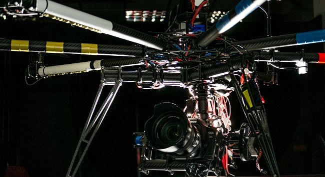
The method evaluates the validity of points in the map as part of a physical plane in the world using a statistical framework that incorporates the uncertainty of estimations for both camera and the map obtained. This creates a better visual representation for mapping. This work has been widely applied in areas including: navigation in GPS-denied environments, virtual augmentation of objects in video footage, video-game interactions, robotics and UAV guidance.
